Israeli officials continue to maintain that their war in Lebanon will continue irrespective of peace deals reached related to it. Underscoring that, the Israeli military issued a new map detailing the extent to which they are occupying southern Lebanon.
The map shows a ‘security zone’ that spans the entire Israel-Lebanon border, includes the southernmost Mediterranean coastline, and continues northward in sections to beyond the Litani River. Multiple important towns and villages are encompassed by this zone.
A drone strike in Kfar Tebnit, one of the northernmost municipalities within the second zone, struck a car on Thursday, killing two people within. Another strike in Zebdine, which is actually outside of the map’s zone, killed another person.
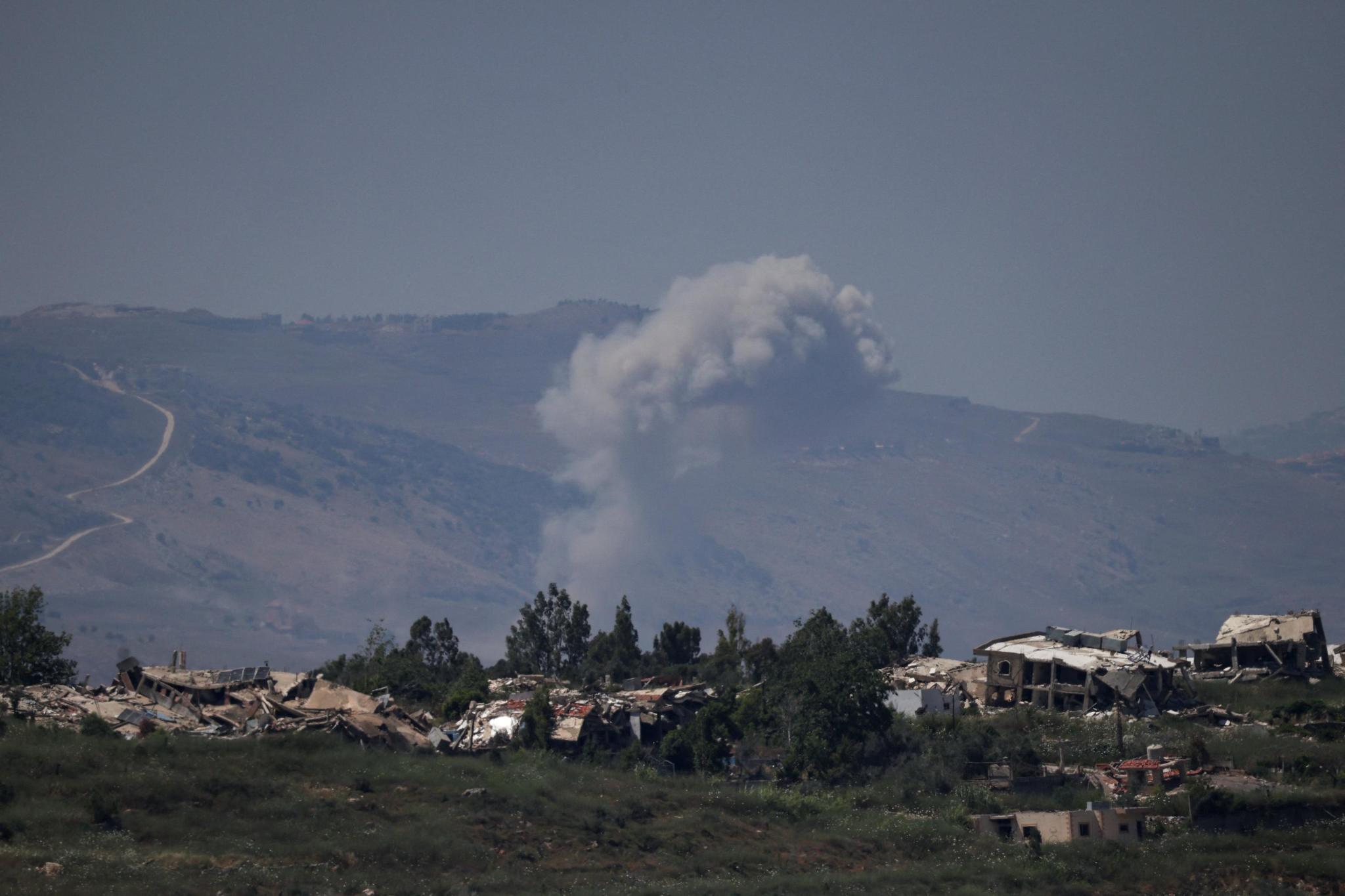
Smoke rises in southern Lebanon, as seen from the Israeli side of the Israel-Lebanon border, in northern Israel, June 17, 2026. REUTERS/Shir Torem
Further south in Beit Yahoun, which is within the security zone, a strike was reported to have wounded two Lebanese people. Drone activity was reported over several other areas around southern Lebanon.
The zone results in serious restrictions for displaced Lebanese trying to get their lives back on track, but the maritime aspect of the zone continues to include the Qana gas field which Lebanon was attempting to develop.
Hezbollah, for its part, claimed to have halted an Israeli ground offensive near Kfar Tebnit in a battle that spanned the past four days. The IDF hasn’t confirmed anything quite that dramatic, though multiple Israeli troops have been reported wounded in Hezbollah strikes in recent days.