North Korean officials regularly issue bellicose, but ultimate empty, threats, but that didn’t stop Baengnyeong Island officials from announcing “high alert” in response to a threat from Kim Jong-Un to wipe the island out.
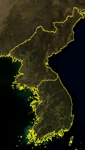
Kim was visiting border artillery forces, and claimed plans to turn the island into a “sea of flames” and to save photographs of the island engulfed in flames for the Supreme Command.
Kim Young-Gu, an official from the island, confirmed that they are “a bit scared” in response to the threat, insisting that the emergency shelters are “fully stocked” and ready to accept civilians if war breaks out.
North Korean officials have repeatedly claimed an end to the 1953 armistice that ended the fighting in the Korean War. They have made this claim over the past several years, however, and nothing ever seems to come of it, meaning it is likely little more than a way to get press releases publicized during tense periods.
Baengnyeong Island is not a "South Korean Island."
Territorial waters, according to accepted maritime boundary understandings, extend 12nm (1nm = 6076ft) from the coast.
The 1953 Armistice Agreement established a demarcation line and a demilitarized zone (DMZ) on the land, but not on the water. The UN unilaterally set a “Northern Limit Line” (NLL) off North Korea's coast in August 1953. This line is only 3nm from the coast, which according to recognized maritime terminology is the boundary of "coastal waters." not "territorial waters" (12nm).
This map shows the “Northern Limit Line” (NLL). The line was unilaterally set by the US led United Nations military forces on August 30, 1953. It is not officially recognized by DPRK (North Korea). In particular, it is not included into the Armistice Agreement of 1953.
The bogus NLL places islands that would properly belong to DPRK under the control of South Korea (ROK) as shown on this map (Baengnyeong Island, Ongjin County, DPRK, is indicated as #1).